
Route 66 runs for about 2,448 miles (3,940 km) between Chicago and Santa Monica, through eight states: Illinois, Missouri, Kansas, Oklahoma, Texas, New Mexico, Arizona and California. Created on 11 November 1926 and removed from the federal highway system in 1985, it survives as « Historic Route 66 » stretches that you can still follow by car or motorcycle. In 2026 it turns 100.
This Route 66 road trip guide covers the state-by-state route, how long to allow, the must-see stops, the budget, the best time to go (with NOAA normals from Chicago to the Mojave Desert) and a tool you rarely find: the time zones you cross, with the UTC offset and the difference with London at each stage, calculated from the official time zone database (IANA). You will see why Arizona is a time trap. Further north, on the Utah border, Monument Valley, on Navajo land, has a guide of its own.

Our travel deals for Route 66
Affiliate links: we earn a commission, at no extra cost to you.
 FlightsKiwi.comCompare flights and airline combinations to Route 66.Compare flights
- eSIMAiraloData plan to install before you leave (eSIM-compatible phone).See plans


Route 66 at a glance
- Start / end Chicago(Illinois) / Santa Monica (California), in either direction
- Length 2,448 miles, or about 3,940 km, for the 1926 route
- Recommended duration At least 2 weeks, 3 weeks to take your time
- Entry US citizens: no entry formalities (domestic travel). UK citizens: a valid ESTA or visa is required · details: GOV.UK
- Time zones 4 IANA zones, 3 different clock times at onceFrom UTC−6 (Chicago) to UTC−8 (California) in winter
- Currency US dollar · currencies
- Budget see our budget section
The Route 66 route, state by state
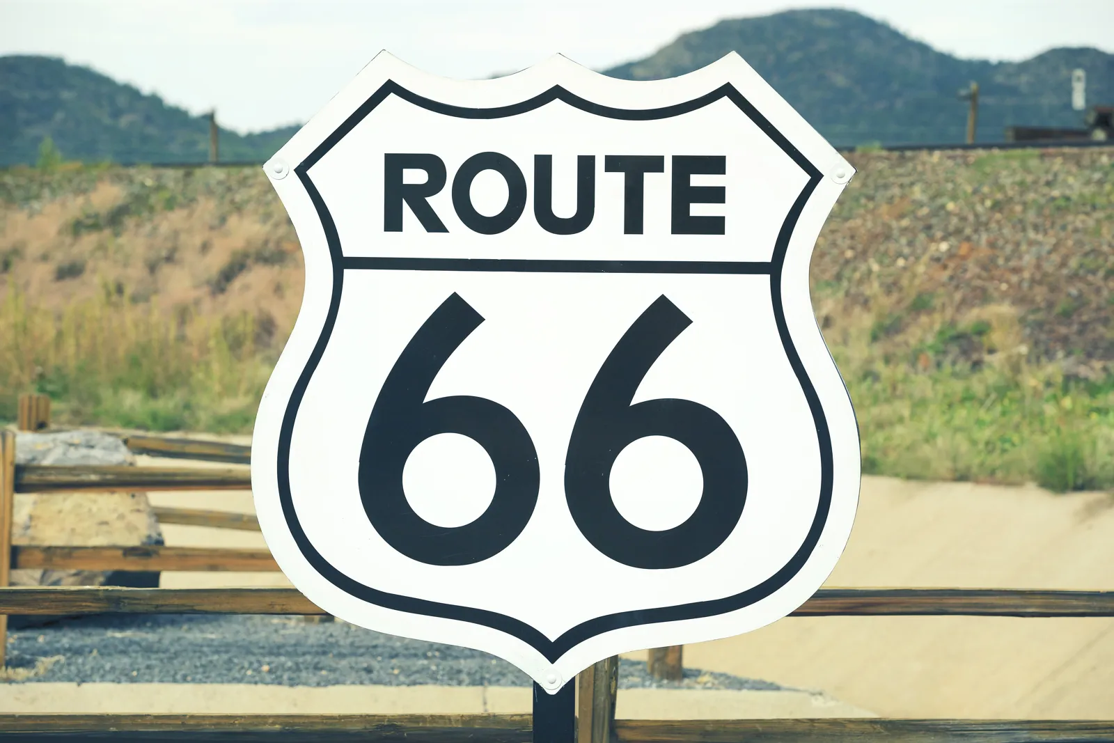
The lengths below are the published estimates for the original 1926 alignment; the route has since changed and part of the old road has disappeared under the interstates, particularly Interstate 40 in the West.
| State | Length (1926) | Main stops |
|---|---|---|
| Illinois | 301 miles (≈ 484 km) | Chicago, Joliet, Springfield |
| Missouri | 317 miles (≈ 510 km) | St. Louis, Springfield (MO), Joplin |
| Kansas | 13 miles (≈ 21 km) | Galena, Baxter Springs |
| Oklahoma | 432 miles (≈ 695 km) | Tulsa, Oklahoma City |
| Texas | 186 miles (≈ 299 km) | Shamrock, Amarillo |
| New Mexico | 487 miles (≈ 784 km) | Tucumcari, Santa Fe, Albuquerque, Gallup |
| Arizona | 401 miles (≈ 645 km) | Holbrook, Flagstaff, Williams, Seligman, Kingman |
| California | 316 miles (≈ 508 km) | Needles, Barstow, San Bernardino, Los Angeles |
The must-see stops on Route 66

Chicago and Illinois
The historic starting point is in downtown Chicago, near Grant Park, at the corner of Jackson Boulevard and Michigan Avenue, where a « Begin Route 66 » sign attracts photographers. Allow at least two days for the city: see our guide to visiting Chicago. Illinois then strings together small towns, restored gas stations and Springfield, the state capital.
St. Louis and Missouri
The road crossed the Mississippi on the Chain of Rocks Bridge, now reserved for pedestrians and cyclists, north of St. Louis. Missouri then runs through the Ozark hills, with several stretches of the old road that are easy to follow.
Kansas, Oklahoma and Texas
Kansas has only about 20 km (13 miles) of Route 66, around Galena and Baxter Springs. Oklahoma, one of the states where the road is longest, passes through Tulsa and Oklahoma City. In Texas, the crossing of the Panhandle is short: stop at the U-Drop Inn, the Art Deco gas station in Shamrock listed on the National Register of Historic Places, then at Amarillo. For another look at this state, see our Texas guide.
New Mexico
The scenery changes: arid plateaus, mesas and Native American reservations. Tucumcari is known for its neon signs, Albuquerque for its Old Town, and a detour to Santa Fe, which the first alignment served, is highly recommended. Several stretches in New Mexico are designated National Scenic Byways.
Arizona
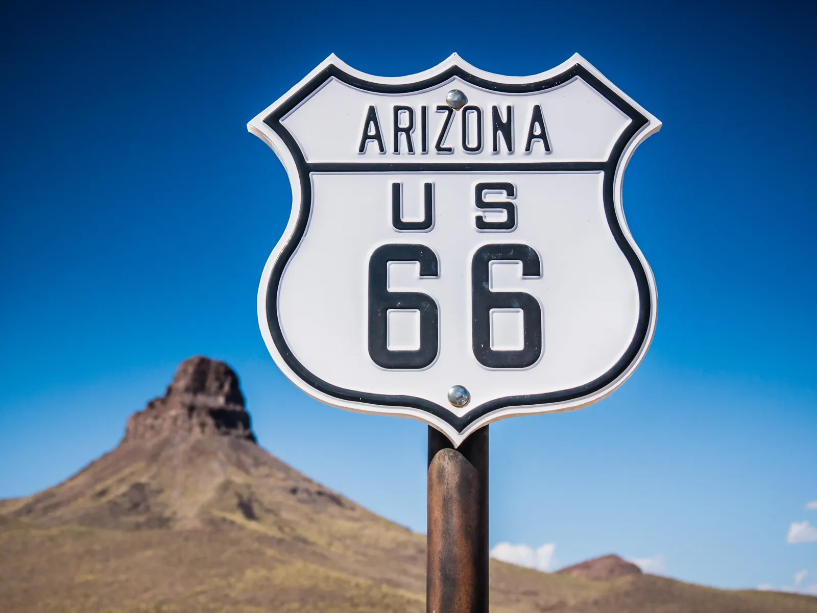
This is often travelers’ favorite stretch. Holbrook and its Wigwam Motel with rooms shaped like tepees, high-altitude Flagstaff, Williams, the gateway to the Grand Canyon, and Seligman, where the Snow Cap Drive-In remains a popular stop. Between Kingman and California, the old road crosses Sitgreaves Pass and goes through Oatman: a narrow, winding stretch that was bypassed as early as 1953 by a more direct road. From Kingman, Las Vegas is a common detour.
California to Santa Monica
After Needles and the Mojave Desert, the road reaches Barstow, San Bernardino, Pasadena and Los Angeles. Since 1936 it has continued to Santa Monica; the « End of the Trail » sign on the Santa Monica Pier is the symbolic end of the trip, even though the official terminus was a few blocks further east. For what comes next, see our guides to Los Angeles and California.
How long does Route 66 take?
- 10 to 12 days: possible, but you will spend most of your time behind the wheel and will often have to use the interstate.
- 2 weeks: the reasonable minimum to follow a good part of the old road with legs of 300 to 400 km (190 to 250 miles).
- 3 weeks: the ideal pace, with two days in Chicago, a detour to Santa Fe, the Grand Canyon from Williams and a few days in Los Angeles.
- In the other direction: starting from Los Angeles works too; check the one-way drop-off fees for a rental car returned in another city, which are often high.
To prepare the logistics (rental, insurance, stops), also read our general road trip guide.
Route 66 time zones: our calculator
Between Chicago and Santa Monica you cross four zones of the IANA database (the one phones and computers use), but only three different legal clock times at any given moment. The reason: Arizona does not observe daylight saving time. For each section we calculated the UTC offset, the difference with London and the local time when it is noon in London, on 15 January and 15 July.
| Section | States | IANA zone | UTC winter / summer | Difference with London winter / summer | Noon in London = (winter / summer) |
|---|---|---|---|---|---|
| Chicago, St. Louis, Tulsa, Oklahoma City, Amarillo | Illinois, Missouri, Kansas, Oklahoma, Texas | America/Chicago | UTC−6 / UTC−5 | −6 h / −6 h | 06:00 / 06:00 |
| Tucumcari, Santa Fe, Albuquerque, Gallup | New Mexico | America/Denver | UTC−7 / UTC−6 | −7 h / −7 h | 05:00 / 05:00 |
| Holbrook, Flagstaff, Williams, Seligman, Kingman, Oatman | Arizona | America/Phoenix | UTC−7 / UTC−7 | −7 h / −8 h | 05:00 / 04:00 |
| Needles, Barstow, San Bernardino, Los Angeles, Santa Monica | California | America/Los_Angeles | UTC−8 / UTC−7 | −8 h / −8 h | 04:00 / 04:00 |
The Arizona trap: in summer, Arizona is on the same time as California; in winter, it is on the same time as New Mexico. If you book a tour, a helicopter ride or a dinner, always check the local time shown, especially around the Grand Canyon. Second trap: the United States and Europe do not change their clocks on the same day. In 2027, US daylight saving time starts on 14 March and the European (and UK) one on 28 March: during those two weeks, Chicago is only 5 hours behind London. In the fall, Europe and the UK go back to standard time on 31 October, the United States on 7 November.
To recover from jet lag, follow our tips on jet lag. More details for the whole country are on our time difference in the United States page.
When to go on Route 66
The best periods are mid-April to June and September to mid-October. Route 66 crosses very different climates: cold winters in Chicago and on the Arizona and New Mexico plateaus (Flagstaff is at altitude), spring thunderstorms and tornadoes on the Plains, and extreme summer heat in the Mojave Desert, where Needles’s average maximum exceeds 43 °C (109 °F) in July. The table compares the average maximum temperatures of the main stops, from east to west.
| Month | Chicago max °C (°F) | Oklahoma City max | Albuquerque max | Flagstaff max | Needles max | Los Angeles max | Verdict |
|---|---|---|---|---|---|---|---|
| January | 0 (32) | 10 (50) | 9 (48) | 6 (43) | 19 (66) | 20 (68) | ❌ Cold, with possible snow in Chicago and Flagstaff |
| February | 3 (37) | 12 (54) | 12 (54) | 8 (46) | 22 (72) | 19 (66) | ❌ Still wintry along much of the route |
| March | 9 (48) | 17 (63) | 17 (63) | 11 (52) | 26 (79) | 20 (68) | ⚠️ Mild in the west, cold in the east |
| April | 16 (61) | 22 (72) | 21 (70) | 15 (59) | 30 (86) | 21 (70) | ✅ Good month, possible storms on the Plains |
| May | 22 (72) | 26 (79) | 27 (81) | 20 (68) | 36 (97) | 21 (70) | ✅ Very good month, tornado risk in the central states |
| June | 27 (81) | 31 (88) | 32 (90) | 26 (79) | 41 (106) | 23 (73) | ✅ Long days, heat building in the desert |
| July | 30 (86) | 34 (93) | 33 (91) | 28 (82) | 44 (111) | 25 (77) | ⚠️ Extreme heat in the Mojave, storms at altitude |
| August | 28 (82) | 33 (91) | 32 (90) | 26 (79) | 43 (109) | 26 (79) | ⚠️ Very hot, monsoon storms in Arizona |
| September | 25 (77) | 29 (84) | 28 (82) | 23 (73) | 39 (102) | 26 (79) | ✅ The best compromise |
| October | 18 (64) | 23 (73) | 21 (70) | 18 (64) | 32 (90) | 25 (77) | ✅ Pleasant, cool nights at altitude |
| November | 10 (50) | 16 (61) | 14 (57) | 11 (52) | 24 (75) | 22 (72) | ⚠️ Cool, short days |
| December | 3 (37) | 10 (50) | 8 (46) | 6 (43) | 18 (64) | 19 (66) | ❌ Cold in the east and at altitude |
When to go on Route 66: key points
- Best periods: mid-April to June, September to mid-October
- Wettest month in Oklahoma City: May, 135 mm (5.3 in) (thunderstorms)
- Mojave Desert: 44 °C (111 °F) average maximum in Needles in July
- Cold nights at altitude: 1 °C (34 °F) average minimum in Flagstaff in May, −8 °C (18 °F) in January
- Chicago in winter: 0 °C (32 °F) average maximum in January
- Good to know: in summer, motel and rental car prices rise sharply
- Spring (April to June): pleasant temperatures almost everywhere, but this is also a stormy period on the Plains. The UK FCDO notes that tornadoes can happen at any time depending on weather conditions (GOV.UK, updated 18 August 2026): follow weather bulletins. More ideas in where to go in May.
- Summer (July-August): the vacation period, but the most trying: over 40 °C (104 °F) in the Mojave, afternoon thunderstorms in Arizona and New Mexico. Drive early in the morning, carry plenty of water and do not venture off the main roads in the midday heat.
- Fall (September to mid-October): the best time for many travelers: the desert heat has eased and there are fewer crowds. See our selection where to go in September.
- Winter (November to March): short days, possible snow in Chicago, northern Arizona and New Mexico; some motels and attractions close. The Southwest stays mild.
Budget for a Route 66 road trip
| Item | Budget | Comfort |
|---|---|---|
| Accommodation (night, double room) | roughly $80 to $135 (motels) | roughly $170 to $335 |
| Meals | roughly $28 to $45 per day (diners) | roughly $67 to $112 per day |
| Rental car | roughly $45 to $90 per day + drop-off fee | roughly $90 to $170 per day (SUV, convertible) |
| Fuel | roughly $335 to $560 for the whole trip | depends on the vehicle |
| Activities | local museums, free viewpoints | national parks, excursions, helicopter |
Getting around and driving on Route 66
- Car: the most common option. Book early, compare one-way fees between Chicago and Los Angeles, and check the insurance included.
- Motorcycle: several rental companies and tour operators offer Route 66 by motorcycle, notably on Harley-Davidsons.
- Following the old road: it no longer exists in one piece; use the « Historic Route 66 » signs and a dedicated guide or map, because the stretches alternate with the interstate.
- Driving licence: rules vary by state and rental company. For UK drivers, the UK FCDO says a UK photocard driving licence can be used in the US, that you may also need the 1949 international driving permit (IDP) depending on the state, and that you cannot buy an IDP outside the UK (GOV.UK, updated 18 August 2026); rental companies often have stricter requirements. US drivers should check the rental company’s conditions.
- Road safety: the UK FCDO advises you not to leave passports in rental cars, especially in the trunk, because gangs may target vehicles driven by people who look like tourists, and to stay on main roads. Check the weather before each leg.
Where to stay on Route 66
Historic motels (neon signs, rooms facing the parking lot) are part of the experience: book them in summer, as there are few. In big cities (Chicago, St. Louis, Oklahoma City, Albuquerque, Los Angeles), hotel chains offer more choice. In Arizona, Williams and Flagstaff are the practical bases for the Grand Canyon. Out of season, you can often book the day before, except around the national parks.
Entry requirements, health and safety
US citizens: this is domestic travel; no entry formalities apply. (The UK FCDO notes that US law requires US citizens to enter and exit the US using a US passport.)
UK citizens: according to the UK FCDO (GOV.UK, updated 18 August 2026, read 26 October 2026), you must have the correct approval before travel: either a valid US visa or an Electronic System for Travel Authorisation (ESTA), depending on your circumstances and purpose of travel. Your passport must be valid for the length of your planned stay. A valid ESTA or visa does not guarantee entry; US authorities may refuse entry. You cannot normally apply for an ESTA if you were in certain countries on or after March 2011, or if you travelled to or were in Cuba on or after 12 January 2021: in those cases you need a visa. Check the GOV.UK entry requirements and the ESTA guide for full details.
Health: the UK FCDO says medical treatment in the US is expensive and that there are no special arrangements for British visitors; some hospitals ask non-US residents for a deposit. It advises travelers to have adequate travel health insurance covering treatment and repatriation: compare options in our travel insurance guide. UK prescriptions are not valid in the US, so bring your medication (and check what you can take in). In the heat, drink plenty of water and avoid the hottest hours. The emergency number is 911.
Safety: according to the UK FCDO, violent crime and gun crime rarely affect tourists, but take care in unfamiliar areas and try not to walk through quieter areas alone, especially at night. Natural hazards on the route: tornadoes (anywhere in the country, depending on weather), wildfires in dry areas, particularly canyons, hills and forests, and earthquakes, with California at higher risk (UK FCDO, updated 18 August 2026).
Practical tips
- Water and fuel: fill up and carry water before the long desert sections of Arizona and California.
- Opening hours: check opening days for small museums and diners, which are often closed early in the week or out of season.
- Internet: the network may be missing in the desert; download offline maps and see our travel eSIM guide.
- Centennial: 2026 marks the road’s 100th anniversary; events take place along the route, so ask the state tourism offices.
Frequently asked questions
How long is Route 66?
About 2,448 miles (3,940 km) for the 1926 alignment, between Chicago and Los Angeles, extended to Santa Monica in 1936.
How long does Route 66 take?
Two weeks at a minimum, three weeks to enjoy the stops, the Grand Canyon and the big cities without spending your days behind the wheel.
What is the best time to drive Route 66?
Mid-April to June and September to mid-October. Summer is very hot in the desert (over 43 °C (109 °F) average maximum in Needles in July, according to NOAA) and winter is cold in Chicago and at altitude.
How many time zones does Route 66 cross?
Four IANA zones (Central, Mountain, Arizona without daylight saving time, Pacific), but three different legal clock times at any given moment. The difference with London goes from −6 h in Chicago to −8 h in California.
Can you still drive Route 66?
Yes, on many stretches marked « Historic Route 66 », but not in one piece: part of it has disappeared under the interstates, notably Interstate 40.
Do you need a visa to drive Route 66?
US citizens do not need one. UK citizens need an ESTA or a visa before travel, according to the UK FCDO; you cannot normally get an ESTA if you have been to Cuba since 12 January 2021.
Our sources
- Wikipedia (English): article « U.S. Route 66 » (history, lengths by state, route, centennial)
- Climate: NOAA 1991-2020 normals for Chicago Midway, Oklahoma City, Albuquerque, Flagstaff, Needles and Los Angeles (UCLA), taken from the English Wikipedia weather boxes
- Time zones: IANA database (tz database); Destination de Voyage calculation of the offsets and the 2027 clock-change dates
- Entry, health, safety and driving information read on 26 October 2026: UK FCDO, foreign travel advice for the USA (GOV.UK, updated 18 August 2026)
- Our methodology
Updated October 2026.
For more ideas, see our United States travel guide and our destinations in the Americas.