The Great Barrier Reef is the largest coral reef ecosystem in the world: its marine park covers 344,400 km² (132,973 sq mi) and stretches about 2,300 km (1,429 mi) along Queensland, in northeastern Australia. You reach it from the coast, notably from Cairns, on a boat trip, a dive or a snorkeling outing. The best season runs from June to October, when Cairns gets less than 70 mm (2.8 in) of rain a month. This page brings together the Reef Authority’s official figures, the Cairns normals, the environmental charge included in tours, and a method for choosing your tour.
The Reef combines well with the rest of the country: see our guide to visiting Australia, our page on the best time to visit Australia and our Brisbane guide, the gateway to Queensland.

Our travel deals for Great Barrier Reef
Affiliate links: we earn a commission, at no extra cost to you.
 FlightsKiwi.comCompare flights and airline combinations to Great Barrier Reef.Compare flights
- eSIMAiraloData plan to install before you leave (eSIM-compatible phone).See plans


Great Barrier Reef: key facts
- Size: 344,400 km² (132,973 sq mi), about 3,000 reefs, 600 continental islands, 300 coral cays — checked on 24 October 2026 on gbrmpa.gov.au (Reef Authority)
- Status: marine park created in 1975; UNESCO World Heritage Site since 1981
- Best season: June to October (dry season in Cairns, Bureau of Meteorology normals)
- Environmental charge (EMC): paid by visitors through the tour operator, which passes it on to the Reef Authority
- Entry requirements: see entry requirements for Australia
- Access: only by boat, seaplane or helicopter from the coast or the islands
The Great Barrier Reef in official figures
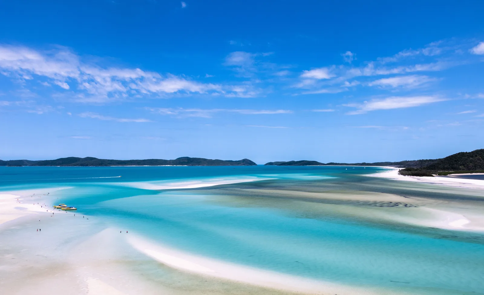
The Reef Authority (Great Barrier Reef Marine Park Authority), the federal agency that manages the marine park, publishes the following benchmarks. The reef accounts for about 10% of the world’s coral ecosystems and spans 14 degrees of latitude, from the northern tip of Queensland to north of Bundaberg, 60 to 250 km (37 to 155 mi) wide.
| Benchmark | Official value |
|---|---|
| Marine park area | 344,400 km² (132,973 sq mi) |
| Length along the coast | About 2,300 km (1,429 mi) |
| Coral reefs | About 3,000 |
| Islands | 600 continental islands, 300 coral cays, about 150 mangrove islands |
| Share covered by reefs | About 7% of the marine park |
| Fish | 1,625 species |
| Hard corals | 450 species |
| Marine turtles | 6 species |
| Sharks and rays | 136 species |
| Marine park created | 1975 |
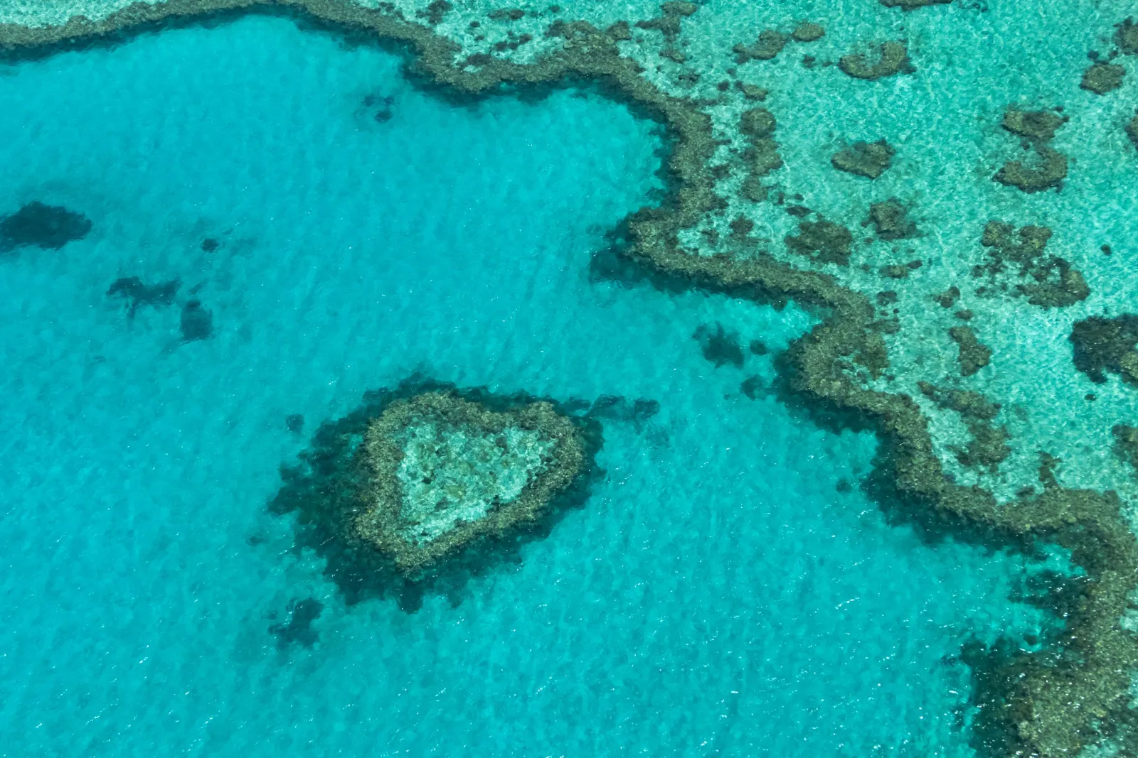
These figures explain why « seeing the Great Barrier Reef » means nothing in itself: a tour shows only one or two sites. The reef occupies only a small share of the marine park, the rest being seagrass beds, mangroves, sandy seabeds and deep water. The Reef Authority also notes that the park is divided into zones, each with its own permitted and prohibited activities.
When to go: the Cairns climate month by month
| Month | Avg. max | Avg. min | Rain | Verdict |
|---|---|---|---|---|
| January | 31.7 °C (89 °F) | 24.0 °C (75 °F) | 388.7 mm (15.3 in) | ❌ wet season |
| February | 31.5 °C (89 °F) | 24.1 °C (75 °F) | 475.5 mm (18.7 in) | ❌ wet season |
| March | 30.9 °C (88 °F) | 23.4 °C (74 °F) | 367.4 mm (14.5 in) | ❌ wet season |
| April | 29.6 °C (85 °F) | 22.0 °C (72 °F) | 178.1 mm (7.0 in) | ⚠️ shoulder season |
| May | 28.0 °C (82 °F) | 20.1 °C (68 °F) | 81.0 mm (3.2 in) | ⚠️ shoulder season |
| June | 26.6 °C (80 °F) | 18.5 °C (65 °F) | 42.6 mm (1.7 in) | ✅ dry season |
| July | 26.2 °C (79 °F) | 17.2 °C (63 °F) | 35.5 mm (1.4 in) | ✅ dry season |
| August | 27.0 °C (81 °F) | 17.3 °C (63 °F) | 26.6 mm (1.0 in) | ✅ dry season |
| September | 28.7 °C (84 °F) | 18.8 °C (66 °F) | 28.4 mm (1.1 in) | ✅ dry season |
| October | 29.9 °C (86 °F) | 20.8 °C (69 °F) | 63.4 mm (2.5 in) | ✅ dry season |
| November | 31.1 °C (88 °F) | 22.5 °C (72 °F) | 85.1 mm (3.4 in) | ⚠️ shoulder season |
| December | 31.8 °C (89 °F) | 23.7 °C (75 °F) | 185.9 mm (7.3 in) | ⚠️ shoulder season |
From January to March, Cairns gets between 367 and 476 mm (14.4 and 18.7 in) of rain a month: this is the wet season, with a cyclone risk. From June to September, less than 45 mm (1.8 in) falls a month and afternoons stay around 26 to 29 °C (79 to 84 °F). To compare with Sydney or Uluru, see the best time to visit Australia.
Sunrise and sunset in Cairns
| Month | Sunrise | Sunset | Day length |
|---|---|---|---|
| January | 05:55 | 18:56 | 13 h 02 |
| February | 06:11 | 18:50 | 12 h 39 |
| March | 06:19 | 18:32 | 12 h 12 |
| April | 06:25 | 18:08 | 11 h 43 |
| May | 06:33 | 17:53 | 11 h 20 |
| June | 06:43 | 17:51 | 11 h 08 |
| July | 06:46 | 17:59 | 11 h 12 |
| August | 06:35 | 18:07 | 11 h 32 |
| September | 06:13 | 18:12 | 11 h 59 |
| October | 05:49 | 18:16 | 12 h 27 |
| November | 05:34 | 18:28 | 12 h 54 |
| December | 05:37 | 18:45 | 13 h 08 |
Queensland does not change its clocks: days vary little, from about 11 hours in June to about 13 hours in December. Boats generally leave in the morning: from June to August, the sun rises between 6:35 and 6:46 am.
The environmental charge (EMC): what you pay
The Reef Authority explains that most visitors taking part in a tourism activity in the marine park must pay the Environmental Management Charge to the permitted operator, who then passes it on to the agency — checked on 24 October 2026 on gbrmpa.gov.au. All the money collected goes to managing the marine park. Operators are required to display the charge correctly in their prices: either a total price « including the charge », or the amount of the charge shown separately. The official amount could not be consulted on 24 October 2026 (the rates page returned an error): check it on your booking voucher.
Choosing your tour: operator or reseller?
Only operators holding a Reef Authority permit can take visitors into the marine park. Booking platforms resell their trips; before paying, compare:
- The reef visited: outer reef, inner reef or island; the number of sites in the day.
- What is included: snorkeling gear, wetsuit, introductory dive, meals, EMC charge.
- Safety: briefing, supervision of non-swimmers, rules for divers.
- Cancellation: what happens if the sea is too rough or in a cyclone warning?
Rules and good practice on the reef
- Zoning: each zone of the marine park has its own permitted and prohibited activities; your operator knows the rules of the site visited.
- Do not touch the coral and do not stand on it.
- Marine stingers: ask your operator about conditions on the day and follow local signs, swimming enclosures and advice.
- Sun: the radiation is very strong; protect yourself, including in the water.
Entry requirements for Australia
Entry rules depend on your nationality: see entry requirements for Australia and our Australia visa guide. Australian customs is very strict about bringing in products, especially food.
Decision guide: which Great Barrier Reef experience?
- You are not a strong swimmer: choose a trip with a pontoon, a glass-bottom boat or supervised snorkeling.
- You are a certified diver: favor a trip to the outer reef, with several sites.
- You are traveling from December to March: keep some slack in your schedule for weather cancellations.
- You have little time: a day trip from the coast is enough for a first look.
Common mistakes to avoid
- Setting off without checking the entry rules for your nationality.
- Thinking the reef can be seen from Cairns beach: you need a boat, a seaplane or a helicopter.
- Comparing tours without checking whether the EMC charge is included.
- Planning a single day trip in the wet season, with no slack in case of cancellation.
What to see nearby
After the Reef, head for the Red Centre with Uluru, or to the southeast coast with Sydney and Melbourne. Our page on time difference with Australia and our travel eSIM guide help you prepare for arrival.
Frequently asked questions
Where is the Great Barrier Reef?
Off Queensland, in northeastern Australia: the marine park extends about 2,300 km (1,429 mi), from the northern tip of the state to north of Bundaberg, according to the Reef Authority.
What is the best time to see the Great Barrier Reef?
From June to October, in the dry season: less than 70 mm (2.8 in) of rain falls a month in Cairns (Bureau of Meteorology normals). From January to March is the wet season.
Do you have to pay a charge to visit the Great Barrier Reef?
Yes, the Environmental Management Charge, collected by the tour operator and passed on to the Reef Authority for managing the marine park. It must appear in the displayed price.
How big is the Great Barrier Reef?
The marine park covers 344,400 km² (132,973 sq mi) and has about 3,000 reefs, 600 continental islands and 300 coral cays, according to the Reef Authority.
Do you need a visa for Australia?
It depends on your nationality: see entry requirements for Australia before you book.
Which city should you leave from for the Great Barrier Reef?
Cairns is one of the main departure points for tours; other Queensland towns and islands also offer them.
Our sources
- Great Barrier Reef Marine Park Authority (gbrmpa.gov.au): « Fascinating facts about the Great Barrier Reef » (updated 2 September 2026) and « Environmental management charge » pages, consulted on 24 October 2026
- Bureau of Meteorology, 1991–2020 normals for the Cairns station, via the Wikipedia article « Cairns », consulted on 24 October 2026
- Wikipedia, « Great Barrier Reef » article (UNESCO listing in 1981), consulted on 24 October 2026
- Astronomical calculations: NOAA solar algorithm, applied by Destination de Voyage to the coordinates of the Cairns station (15th of each month, year 2027, clear horizon)
- Our methodology
Updated November 2026.